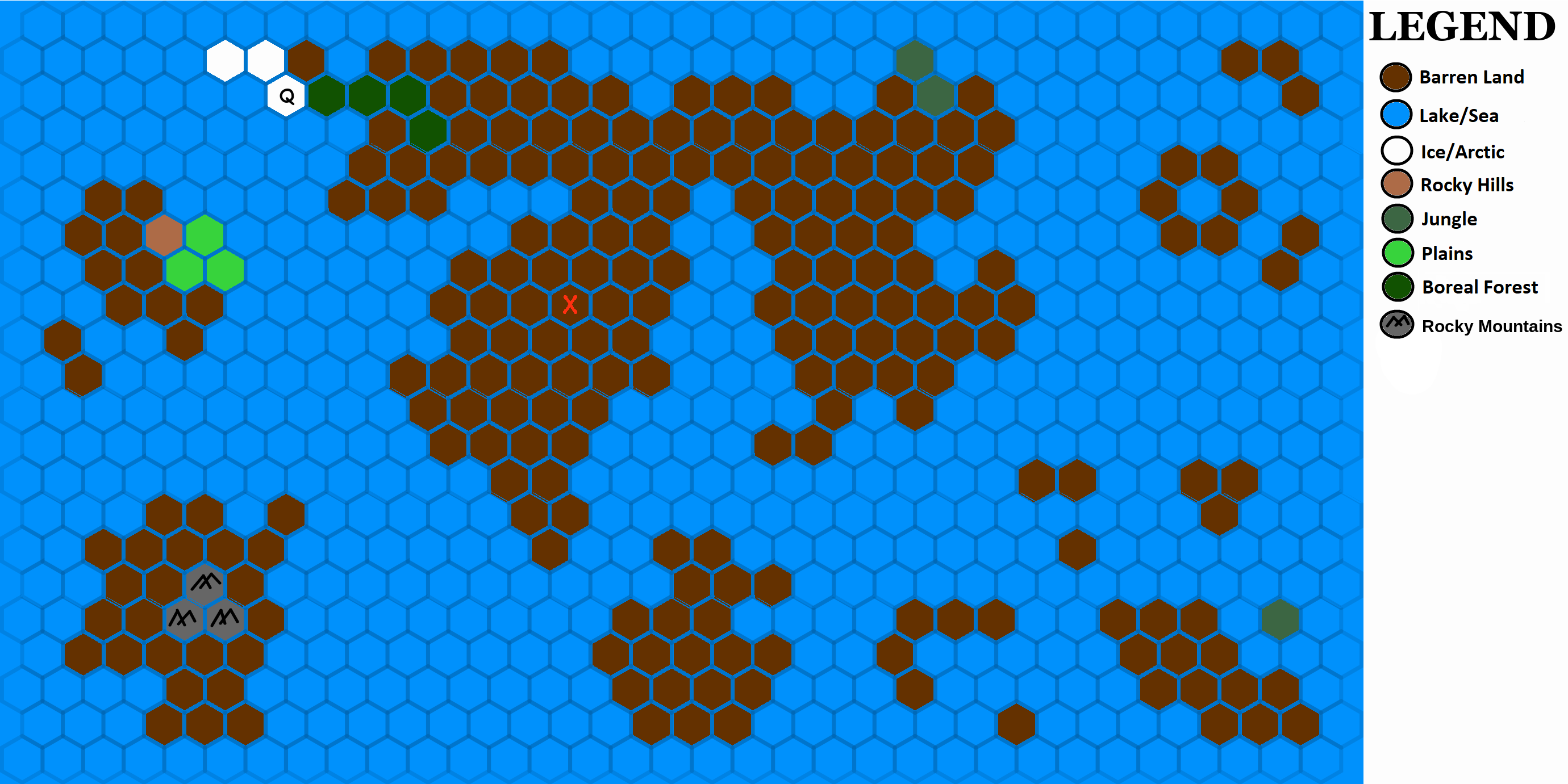
File:Map state 5.png
Jump to navigation
Jump to search

Size of this preview: 800 × 400 pixels. Other resolution: 2,760 × 1,381 pixels.
Original file (2,760 × 1,381 pixels, file size: 321 KB, MIME type: image/png)
File history
Click on a date/time to view the file as it appeared at that time.
| Date/Time | Thumbnail | Dimensions | User | Comment | |
|---|---|---|---|---|---|
| current | 20:53, 14 February 2018 | | 2,760 × 1,381 (321 KB) | Quincy (talk | contribs) | Adding mountains. |
| 03:55, 14 February 2018 | 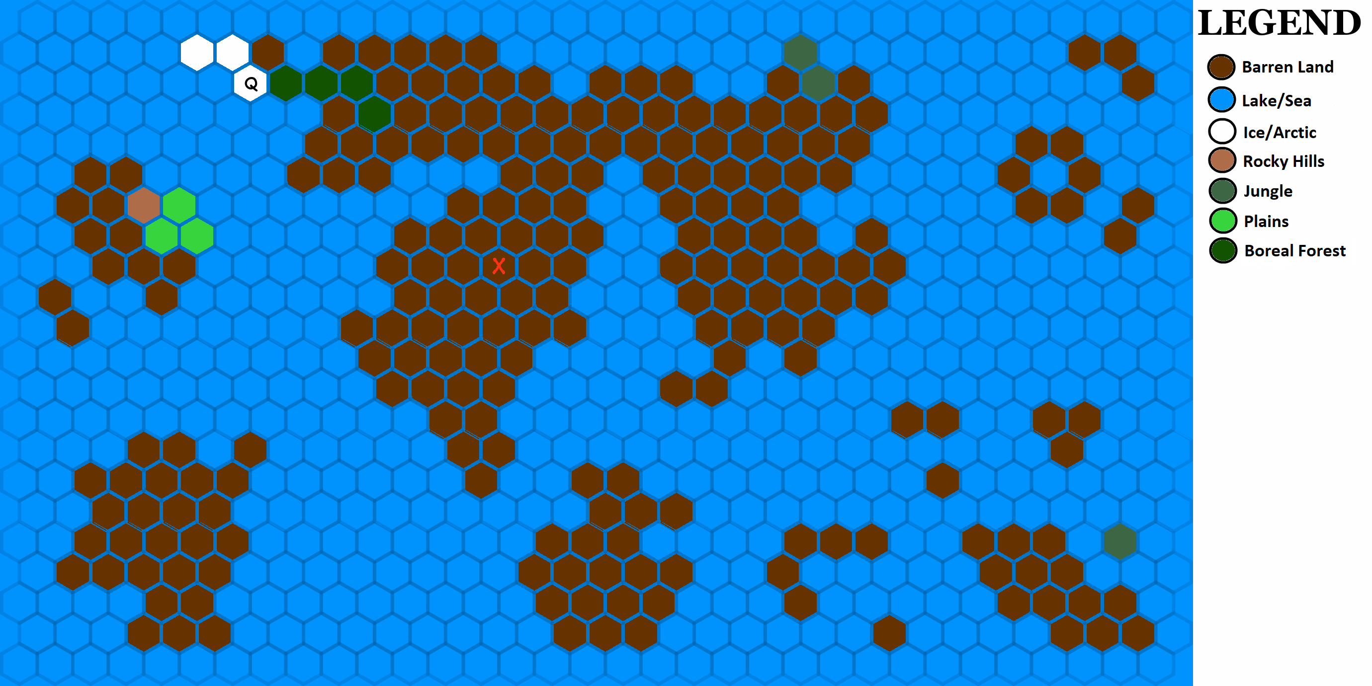 | 2,760 × 1,381 (397 KB) | Blobby383b (talk | contribs) | ||
| 19:57, 13 February 2018 | 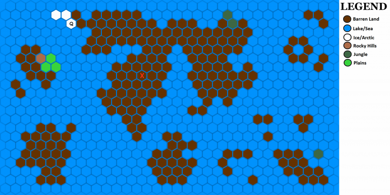 | 800 × 400 (217 KB) | Varkarrus (talk | contribs) | ||
| 19:12, 13 February 2018 | 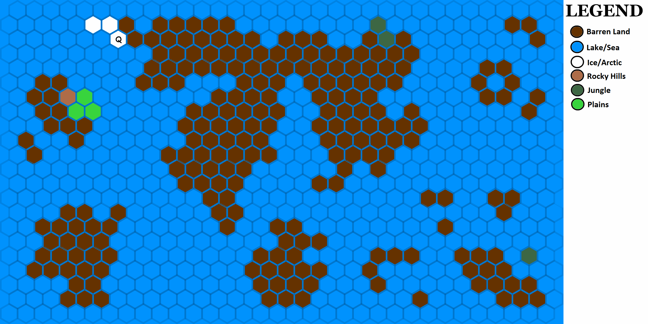 | 2,760 × 1,381 (308 KB) | Quincy (talk | contribs) |
You cannot overwrite this file.
File usage
The following page uses this file: