File:Aina v2.5 Political Colors.jpg
Jump to navigation
Jump to search

Size of this preview: 772 × 600 pixels. Other resolution: 1,633 × 1,269 pixels.
Original file (1,633 × 1,269 pixels, file size: 1.39 MB, MIME type: image/jpeg)
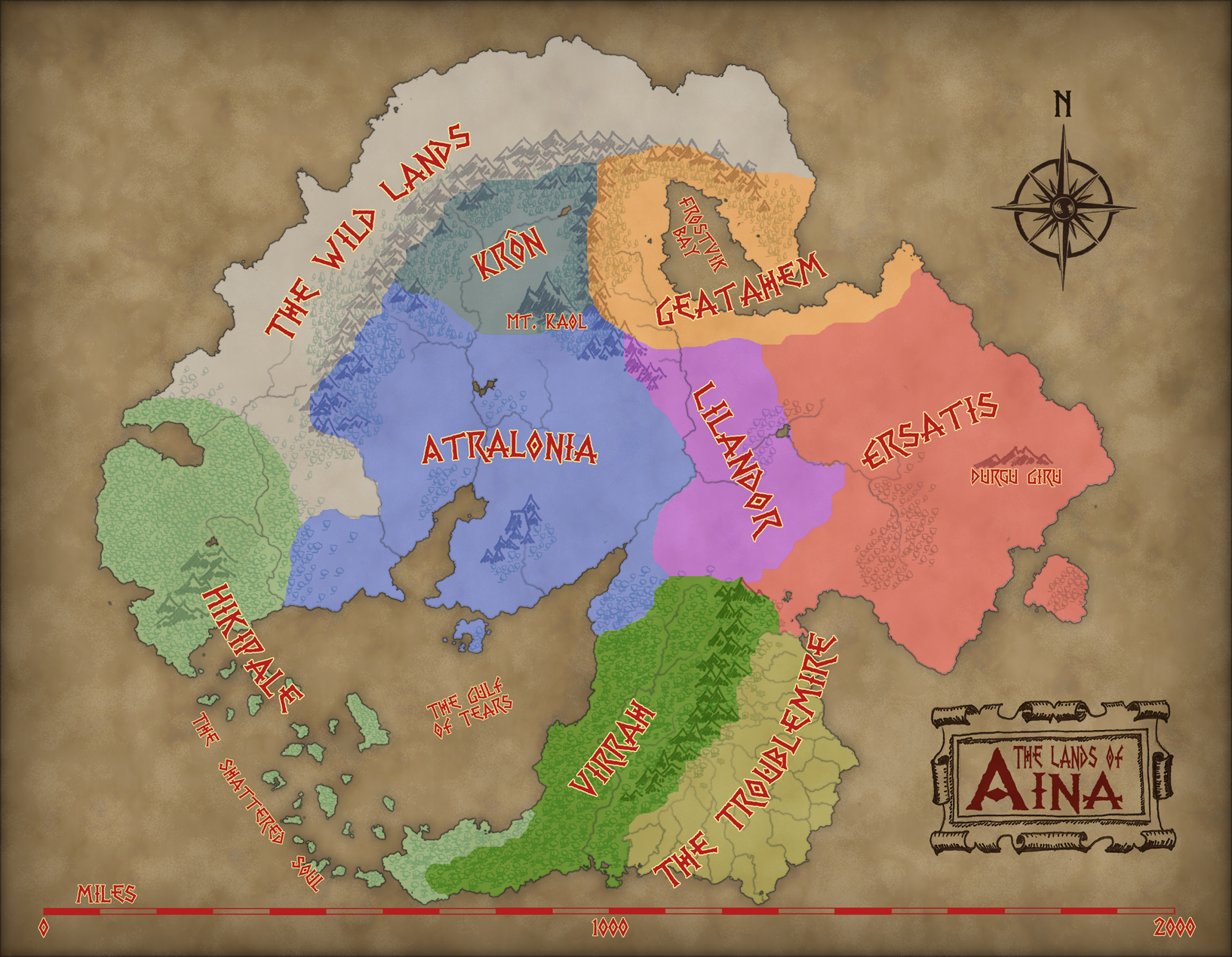
This is the colored Political map for the land of Aina in the Dungeons and Dragons 3.5e homebrew campaign setting "The Framework."
Back to Main Page → 4e Homebrew → Maps → Continental Maps
Back to Main Page → 3.5e Homebrew → Maps → Continental Maps
Back to Main Page → D20 Modern → Maps → Continental Maps
File history
Click on a date/time to view the file as it appeared at that time.
| Date/Time | Thumbnail | Dimensions | User | Comment | |
|---|---|---|---|---|---|
| current | 00:29, 28 May 2012 | | 1,633 × 1,269 (1.39 MB) | Maintenance script (talk | contribs) | Importing from media.dandwiki.com |
You cannot overwrite this file.
File usage
The following 2 pages use this file: