File:OrizonFullMap.jpg
From D&D Wiki
(Redirected from File:OrisonFullMap.jpg)
Size of this preview: 800 × 433 pixels. Other resolutions: 320 × 173 pixels | 2,661 × 1,440 pixels.
Original file (2,661 × 1,440 pixels, file size: 516 KB, MIME type: image/jpeg)
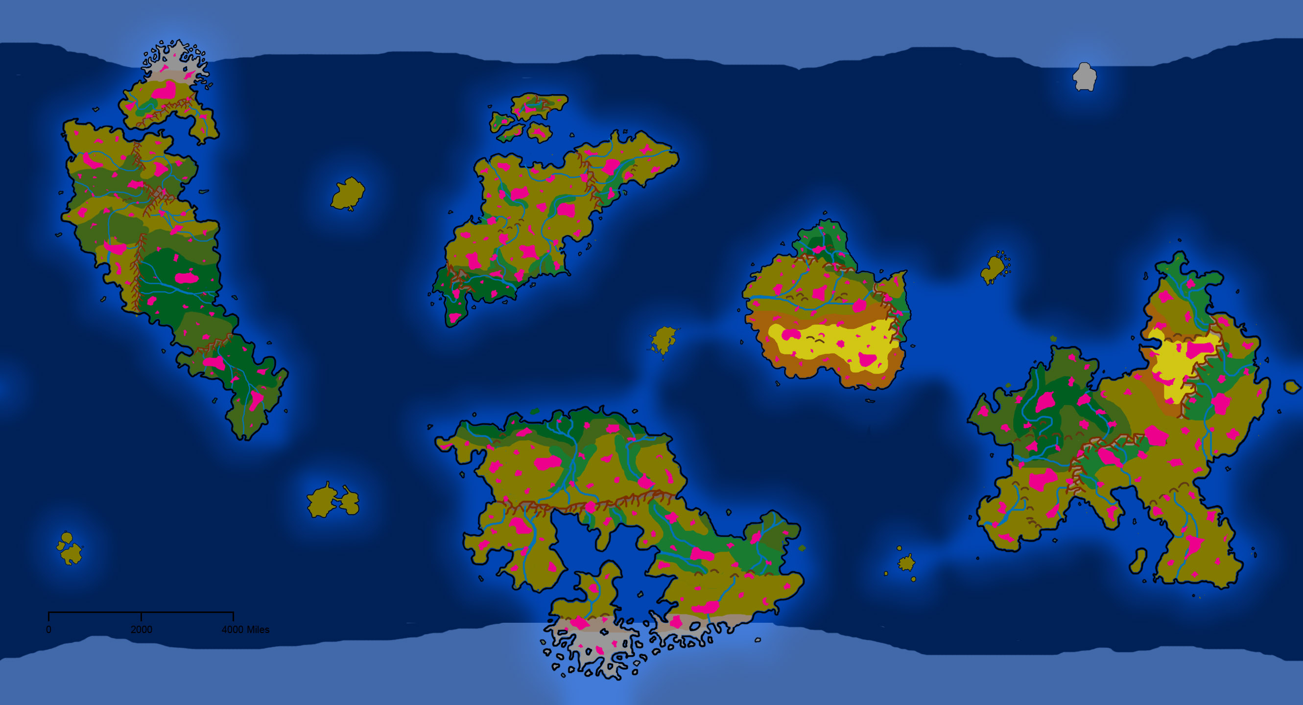
A world map of the Orizon campaign setting, showing the positions and shapes of major continents and scattered islands. The position of large skylands are marked in pink outline
File history
Click on a date/time to view the file as it appeared at that time.
| Date/Time | Thumbnail | Dimensions | User | Comment | |
|---|---|---|---|---|---|
| current | 13:58, 3 July 2016 | | 2,661 × 1,440 (516 KB) | Lemiel14n3 (talk | contribs) | |
| 02:08, 27 February 2015 | 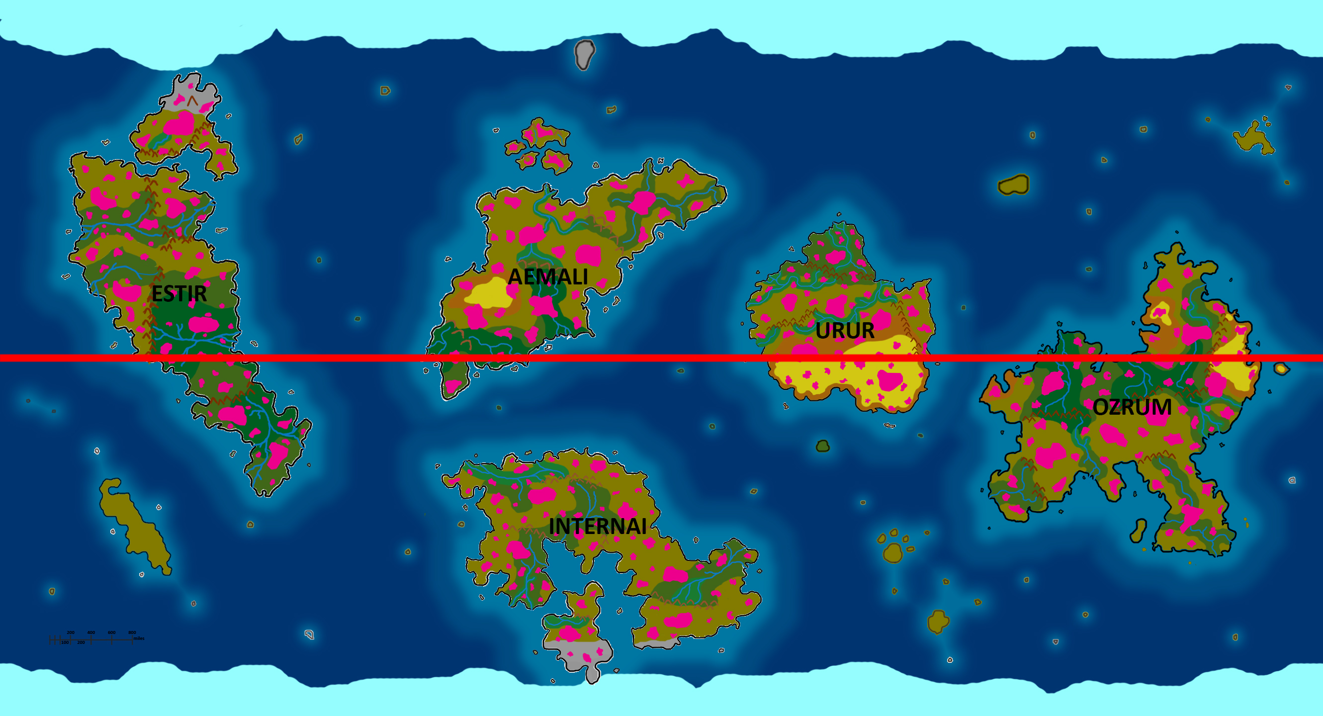 | 2,661 × 1,440 (1.47 MB) | Lemiel14n3 (talk | contribs) | Last one, I swear | |
| 01:10, 27 February 2015 | 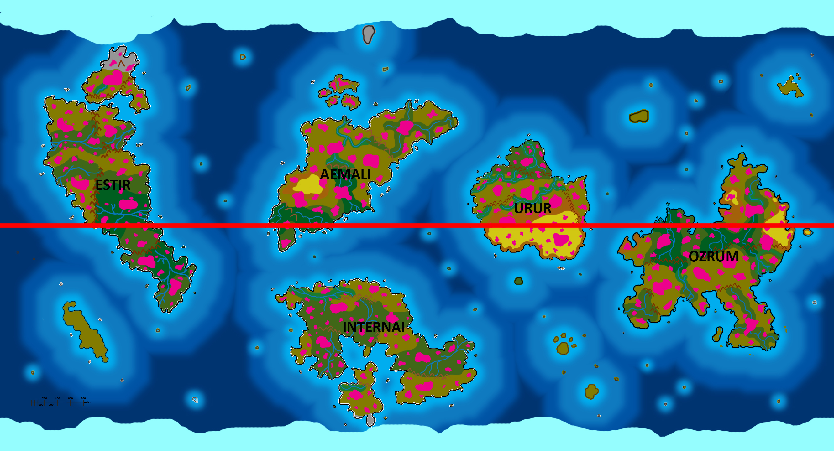 | 2,661 × 1,440 (1.6 MB) | Lemiel14n3 (talk | contribs) | Turns out I wasn't done | |
| 23:42, 26 February 2015 | 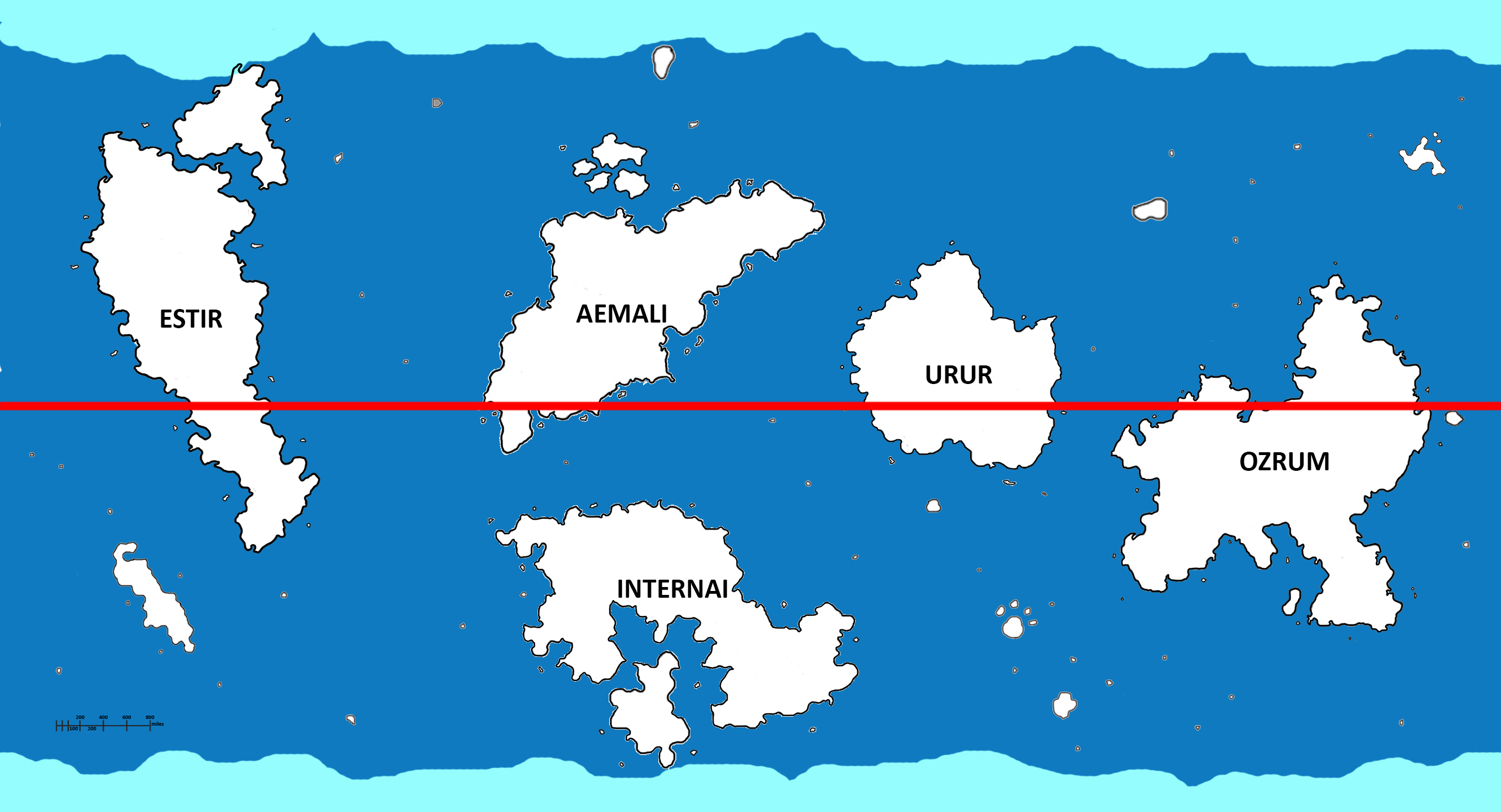 | 2,661 × 1,440 (830 KB) | Lemiel14n3 (talk | contribs) | Flavor fix, positions needed changing | |
| 20:47, 23 January 2015 | 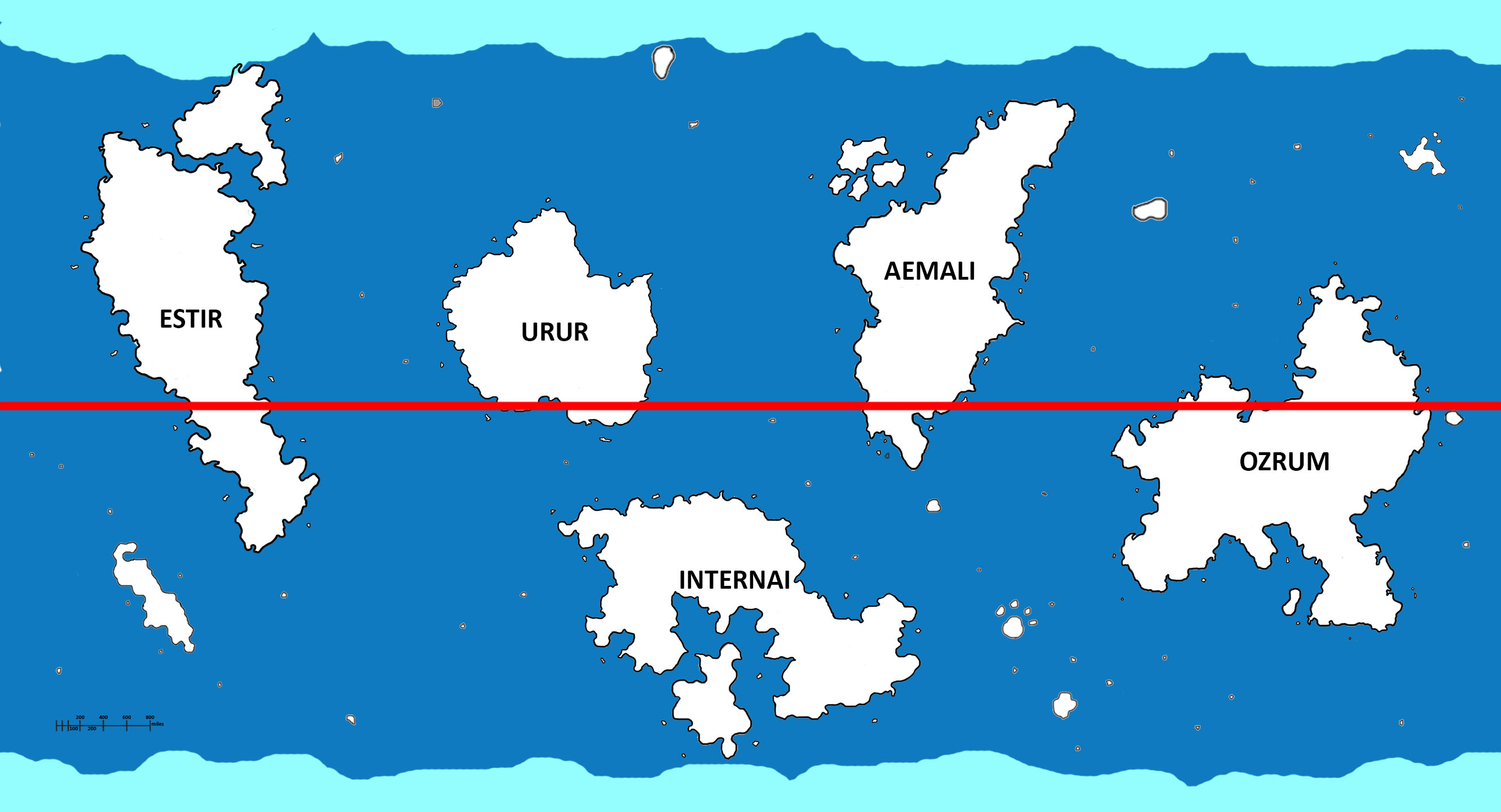 | 2,661 × 1,440 (315 KB) | Lemiel14n3 (talk | contribs) | ||
| 23:44, 16 January 2015 | 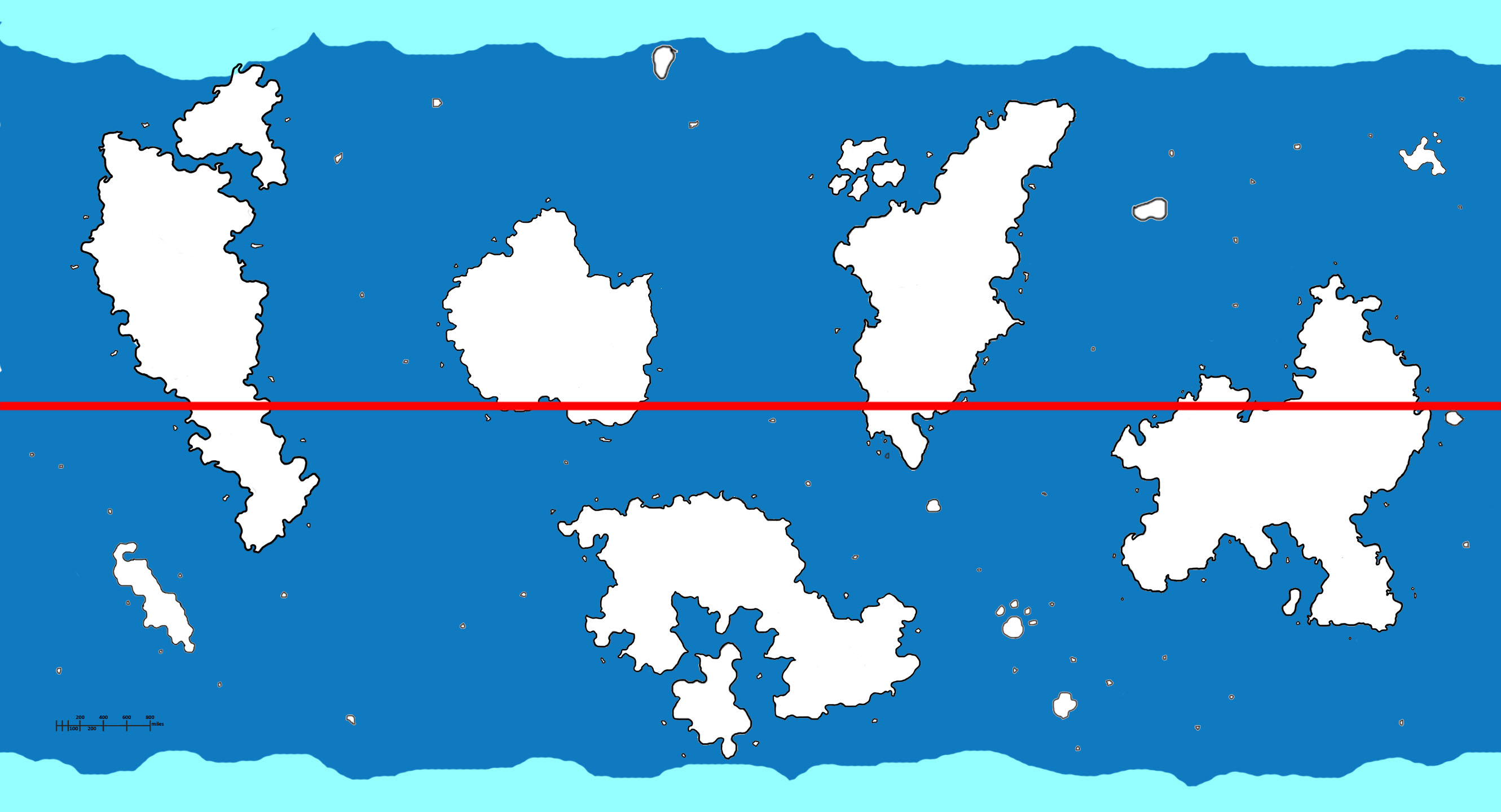 | 2,661 × 1,440 (303 KB) | Lemiel14n3 (talk | contribs) | Altered the base image and sort of everything else | |
| 16:00, 13 January 2015 | 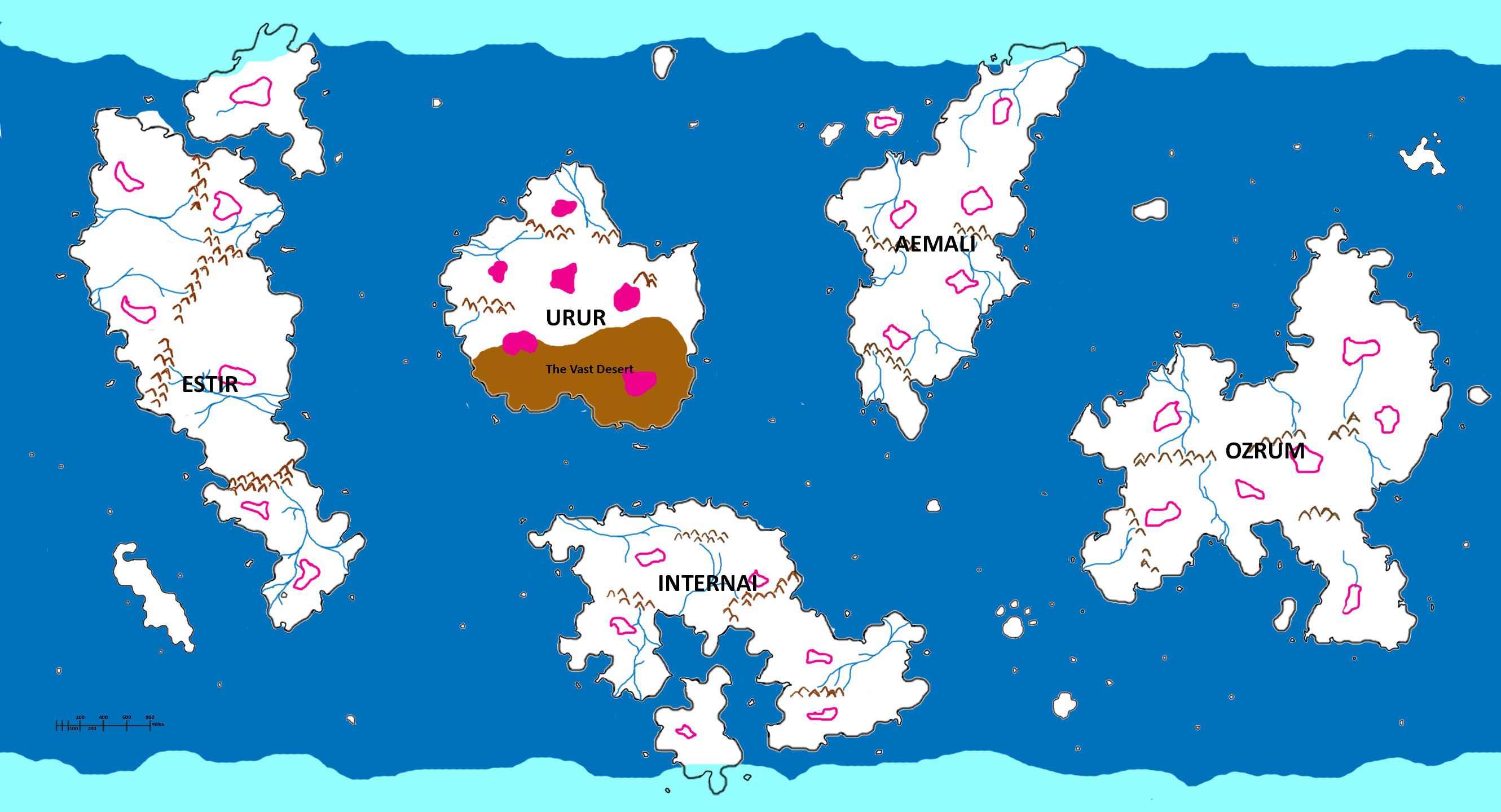 | 2,661 × 1,440 (416 KB) | Lemiel14n3 (talk | contribs) | ||
| 15:34, 12 January 2015 | 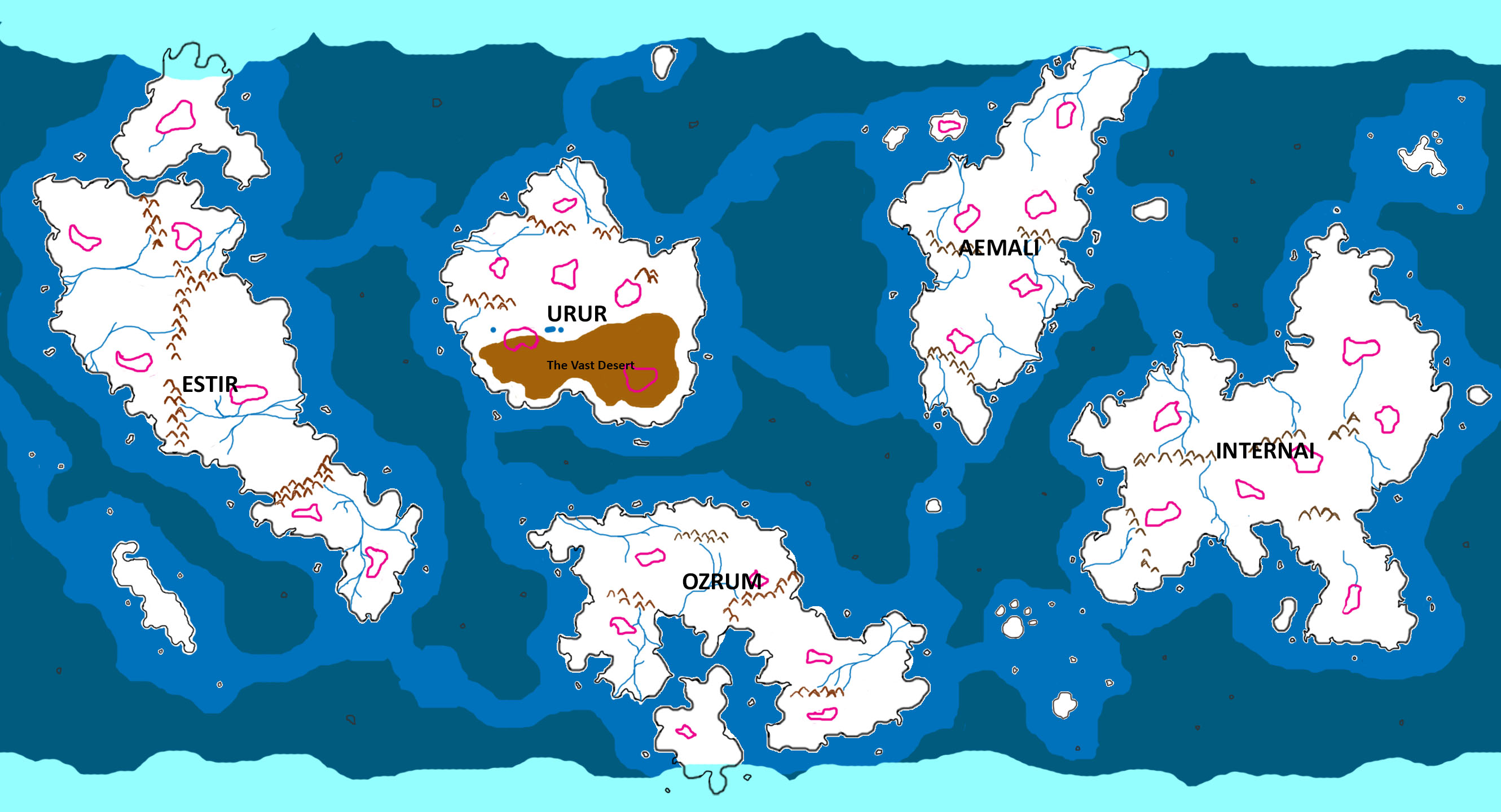 | 2,661 × 1,440 (474 KB) | Lemiel14n3 (talk | contribs) | A world map of the Orizon campaign setting, showing the positions and shapes of major continents and scattered islands. The position of large skylands are marked in pink outline |
You cannot overwrite this file.
File usage
The following 3 pages use this file:
- Geography (Orizon Supplement)
- File:OrisonFullMap.jpg (file redirect)
- File:OrisonFullMap.jpg (file redirect)