File:EstirMap.jpg
From D&D Wiki
Size of this preview: 375 × 599 pixels. Other resolutions: 150 × 240 pixels | 542 × 866 pixels.
Original file (542 × 866 pixels, file size: 107 KB, MIME type: image/jpeg)
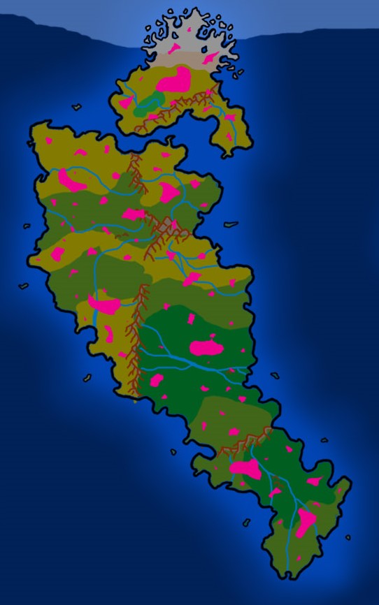
Map of the continent Estir in the Orizon setting. Skylands are marked in pink.
File history
Click on a date/time to view the file as it appeared at that time.
| Date/Time | Thumbnail | Dimensions | User | Comment | |
|---|---|---|---|---|---|
| current | 10:20, 18 January 2020 | | 542 × 866 (107 KB) | PapaGrrowler (talk | contribs) | Updating the Map. Hope it works |
| 00:14, 27 February 2015 | 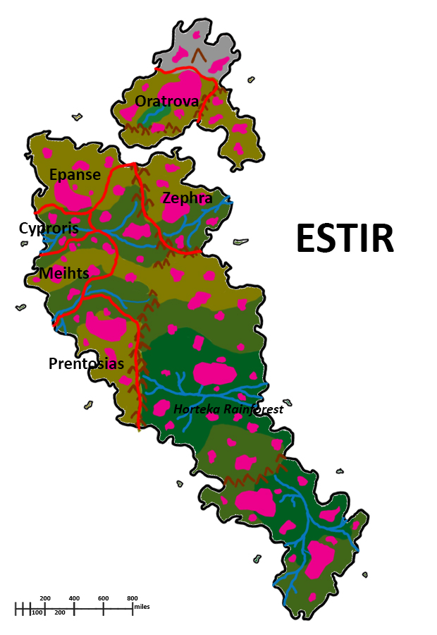 | 620 × 900 (285 KB) | Lemiel14n3 (talk | contribs) | ||
| 18:54, 23 January 2015 | 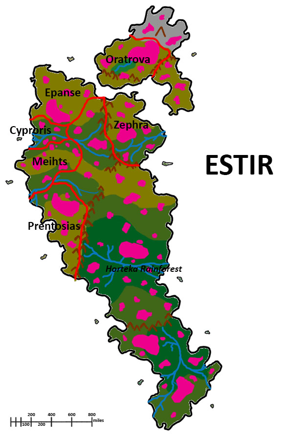 | 620 × 900 (130 KB) | Lemiel14n3 (talk | contribs) | added titles | |
| 01:19, 17 January 2015 | 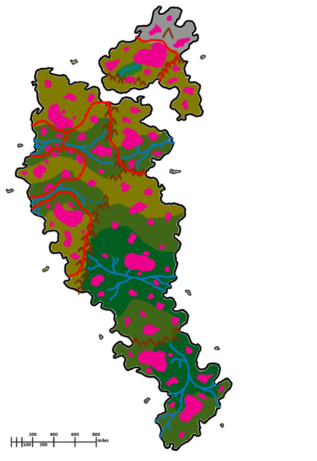 | 620 × 900 (114 KB) | Lemiel14n3 (talk | contribs) | ||
| 16:50, 13 January 2015 | 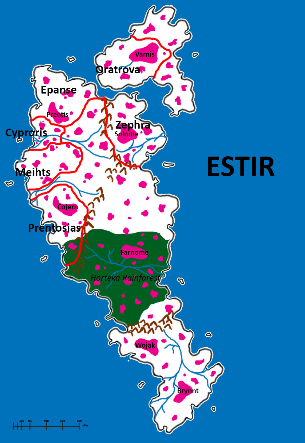 | 992 × 1,440 (214 KB) | Lemiel14n3 (talk | contribs) | Map of the continent Estir in the Orizon setting. Skylands are marked in pink. |
You cannot overwrite this file.
File usage
The following page uses this file: